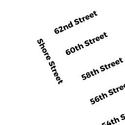
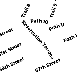
26 SHORE ST
Owner Information
OBARA EDWARD
26 SHORE ST
NEWBURYPORT, MA 01950


Property Details
26 SHORE ST is classified as a Single Family Residential (Cape cod).
The primary structure on this property was built in 1930. There are 2,992ft2 of built area within this property. There is 1,344ft2 of residential/living space within this property. This property is listed as having 50 rooms.
26 SHORE ST is valued at $481,700. The land is valued at $283,900 and the structures are valued at $197,800.
This property is in Zone R3. Confirm with local Zoning Board authorities to ensure there are no overlays or other easements on this property.
The most recent deed for 26 SHORE ST is recorded at the local registrar in Book 7348, Page 514. 26 SHORE ST was last sold on Tuesday, March 6, 1984 for $65,000.
Assessment data from fiscal year 2021.
Flood Data
This property is completely within the VE Zone (coastal flooding with wave action).
The base flood elevation for this flood zone is 17 feet.
This information is sourced from the FEMA National Flood Hazard Layer. See our full disclamer.
Broadband Internet Providers
| Provider | Type | Bandwidth (mbps) | |
|---|---|---|---|
| Viasat Inc | Satellite | 100 | 3 |
| HughesNet | Satellite | 25 | 3 |
| VSAT Systems, LLC. | Satellite | 2 | 1 |
| GCI Communication Corp. | Satellite | 0 | 0 |
| Verizon New England Inc. | DSL | 5 | 0 |
| Comcast | Cable | 1000 | 35 |
Broadband service provider data from December 2020.